Junior researcher of CAIAG Perizat Imanalieva presented a report
On November 30, 2024, a seminar organized by the DEvision project as part of the celebration of the World Geographic Information Systems (GIS) Day was held at the Kyrgyz State Technical University named after I. Razzakov. The report was made by Perizat Akzholtoevna Imanalieva, Junior Researcher at the Central Asian Institute for Applied Geosciences (CAIAG), Department of Monitoring and Data Management Systems.
Her report was devoted to the application of modern methods of processing Earth remote sensing (ERS) data and GIS technologies for a comprehensive study of the 2020 Karakechi landslide. Imanalieva presented the results of the study published in the international scientific journal "Georisk" (link: https://shorturl.at/0b4MQ). In her work, she analyzed in detail the dynamics of the landslide development using various sources of ERS data, such as high-resolution satellite images (Sentinel-2, Landsat 8) with different spectral ranges. These data made it possible to create time series reflecting landscape changes in the period before, during and after the landslide. The use of GIS technologies made it possible to integrate disparate data into a single geospatial database. This provided the possibility of spatial analysis and modeling of the factors that led to the landslide. The report considered such factors as the geological structure of the area, hydrogeological conditions, seismicity, geodynamic and climatic features and anthropogenic impact. Imanalieva presented the results of modeling, which made it possible to assess the influence of each of these factors on slope stability.

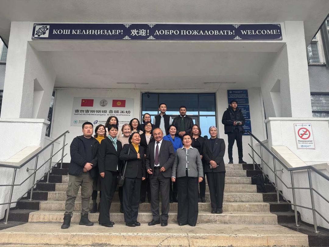
Junior researcher of CAIAG Perizat Imanalieva with seminar participants
In the final part of the presentation, the prospects for further research and the possibilities of applying the developed methods for predicting landslides in other regions of Kyrgyzstan were discussed. The importance of monitoring the geological situation and timely detection of signs of activation of dangerous geological processes to prevent future disasters was emphasized. In general, the seminar demonstrated the high relevance of using modern remote sensing and GIS technologies to solve problems in the field of geology, ecology and emergency prevention. The discussion that followed the presentation demonstrated the keen interest of the seminar participants in the presented results and research methods.


