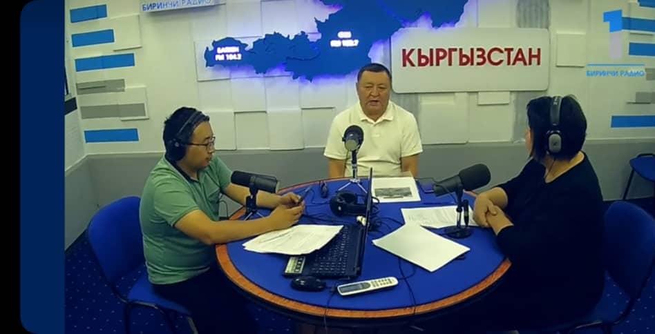
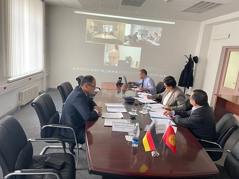
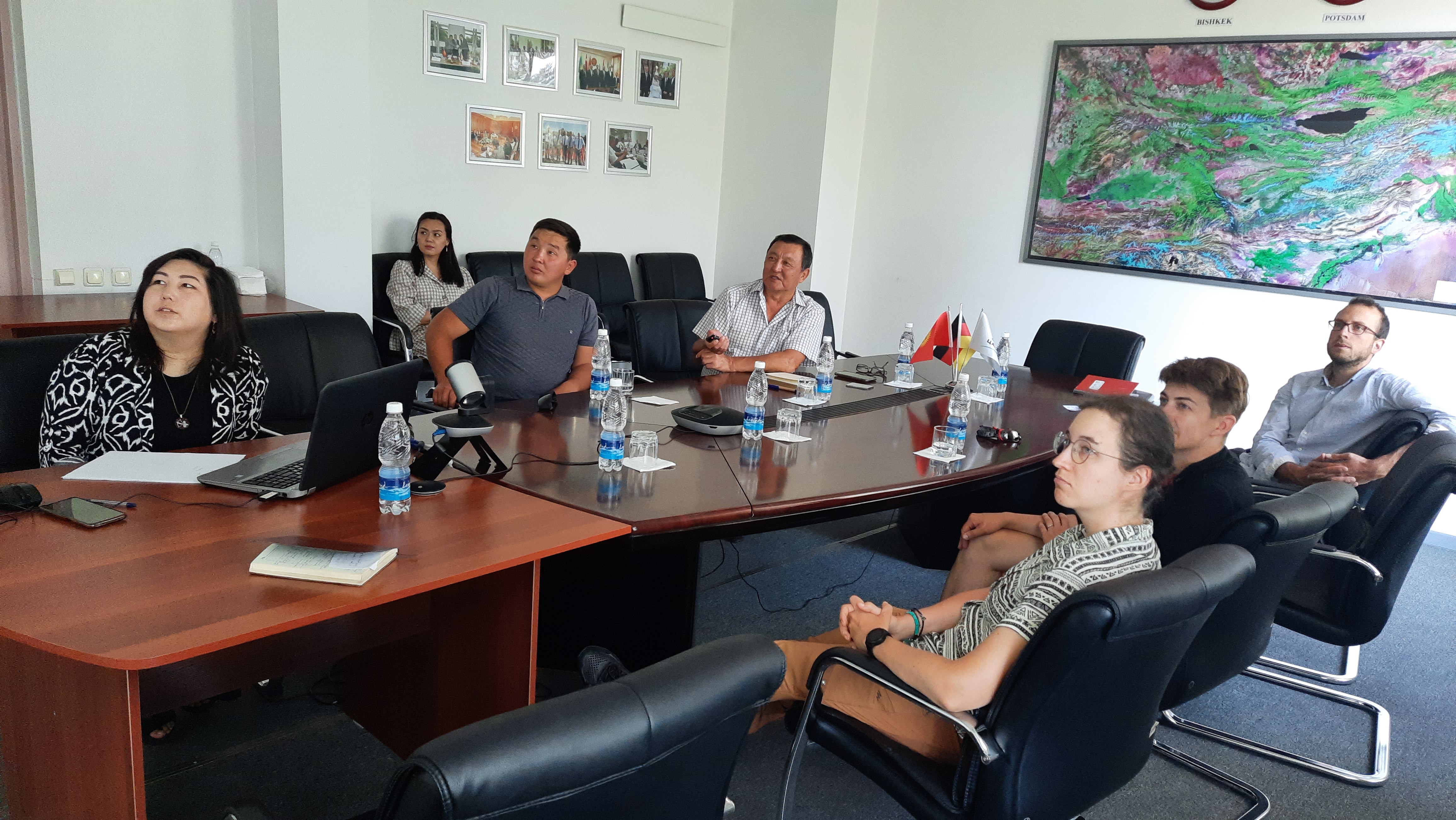
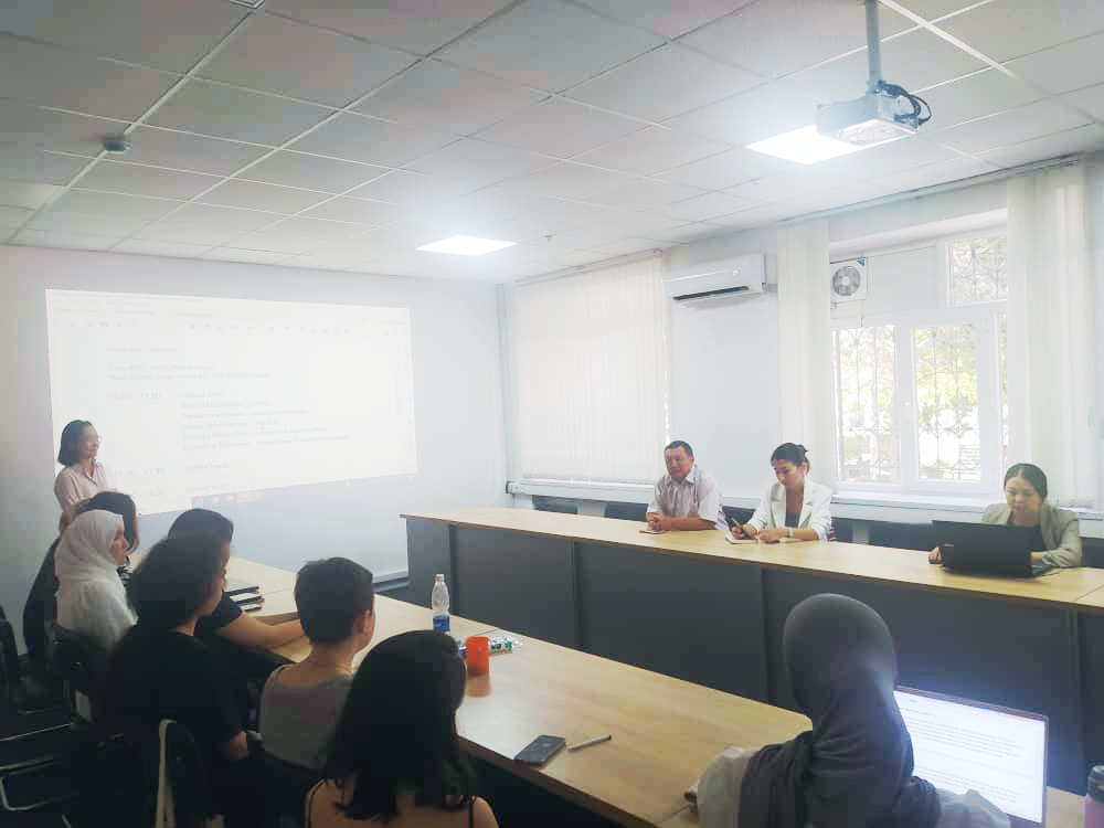
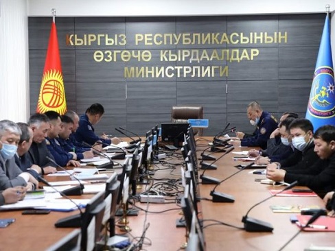
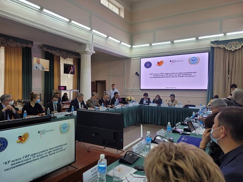
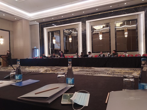
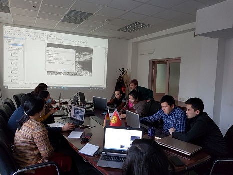
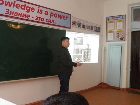
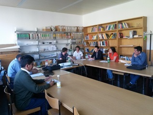
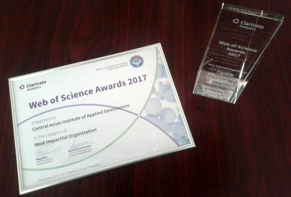
Actual activity of the 2nd department in 2014


Actual activity of the 2nd department in 2014
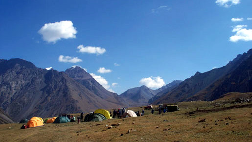
Research of the Inylchek glacier
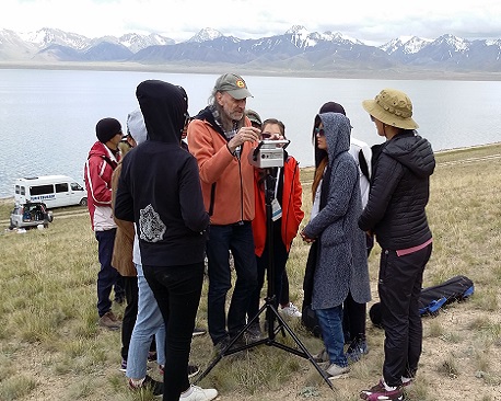
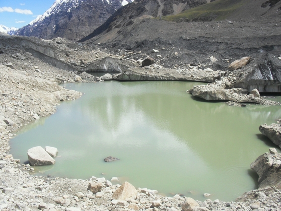
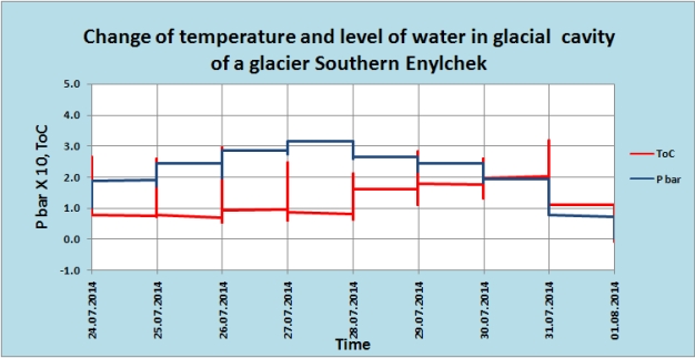
| In 2014 the research on the Inylchek glacier, Mertzbacher high-elevation research station, has still being carried out within "Global Change Observatory in Central Asia” program. New ablation poles were installed on the Southern Inylchek glacier and the ablation was measured in summer. The temperature and water level changes were measured in intra-glacial reservoirs of the Southern Inylchek glacier using «OTT Orpheus MiniGround Water Level Sensors» sensor. As was measured temperature of a surface of ice by means of the mercury and infra-red thermometer.
View Glacier Inylchek on the large-scale map |
|
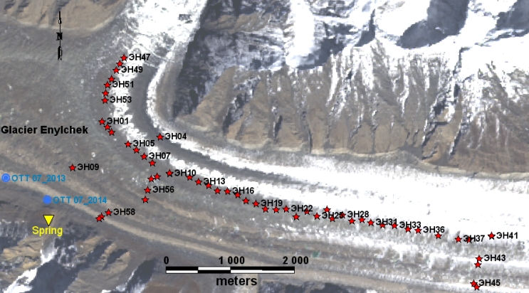
The scheme of points measurement of ablation, temperature of water and ice on a glacier Southern Enylchek |
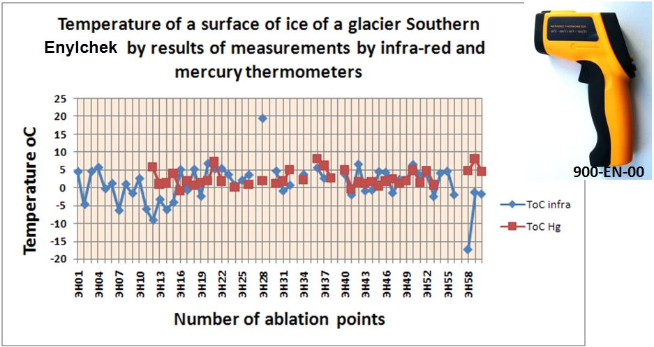 |
| Measurement of temperature of a surface of ice of a glacier Enylchek by infra-red and mercury thermometers |
 |
 |
|
The temperature and water level changes were measured in intra-glacial reservoirs of the Southern Inylchek glacier using «OTT Orpheus MiniGround Water Level Sensors» sensor. |
 |
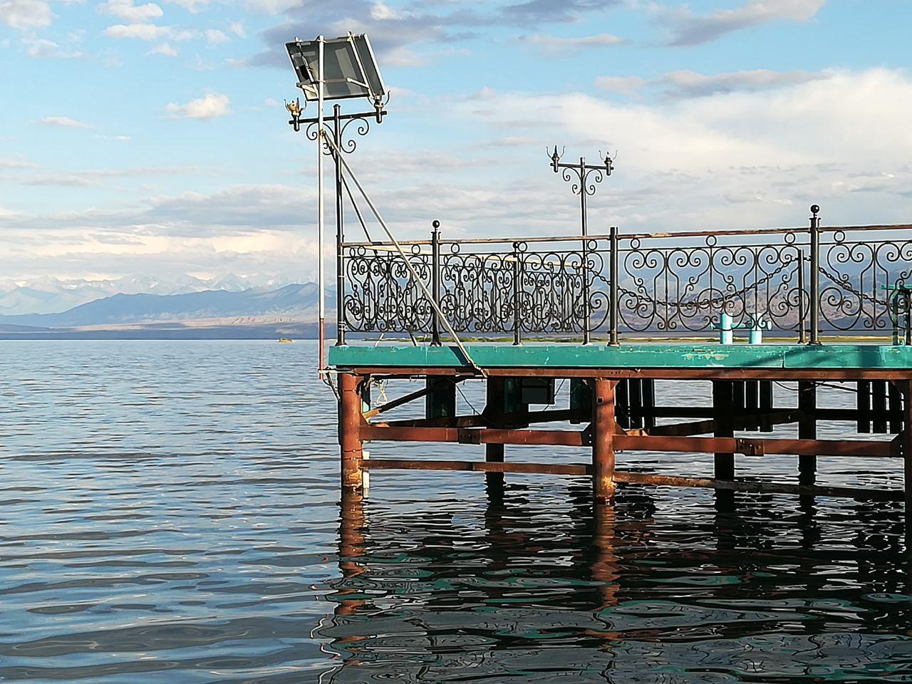
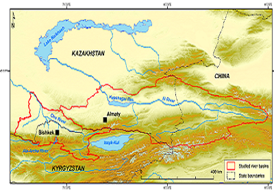
Research of the Issyk-Kul basin
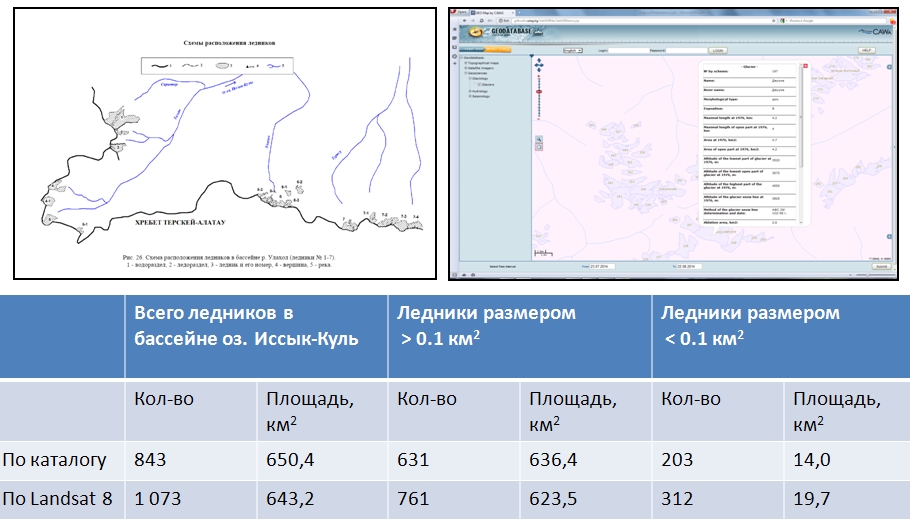
| In 2014 within the framework of the project on research of basin of lake the Issyk-Kul was executed a line of works on research of objects located in this basin by remote methods of observation. In particular, is made estimation of a modern condition of glaciers by results of interpretation of the satellite images Landsat 8 for 2013. As is made the field inspection of a line of glaciers in Kungey and Teskey ranges. Here were established ablation pole and was executed the delimitation with the help GPS navigators. |
 |
|
Shabunin A.G. Updating of the Catalogue of glaciers USSR, Volume 14, release 2, part 5 on the data Landsat 8, as of 2013. http://www.caiag.kg/ru/struktura-otdely/otdel-2/publikatsii-2-go-otdela |
| - Are specified of morphometric characteristic of lake Issyk-Kul and are determined of waterlogging territory on perimeter of lake. - Is determined the change of the areas of built territories on some settlements in basin of lake Issyk-Kul, since 70 years of the last century till the present time. - The catalogues and databases are created, of high-mountainous lakes and glaciers on Issyk-Kul basin. |
 |
| Change of annual flow and correlation analysis of vegetation flow of the rivers of Issyk-Kul basin for long-term period |
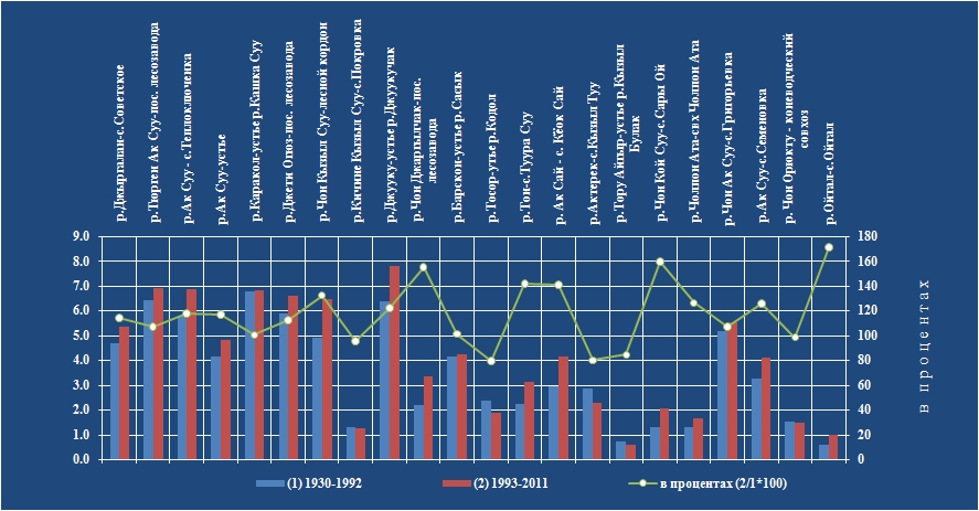 |
| Average annual the flow of water and percentage ratio of a flow for periods 1930-1991 and 1992-2011. |
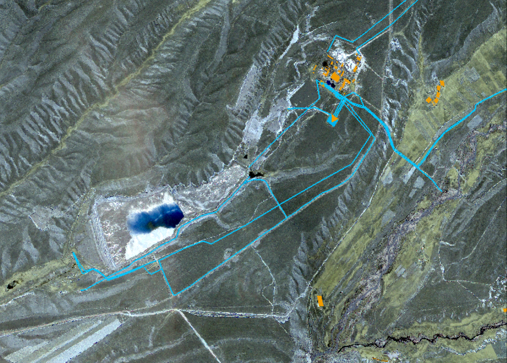
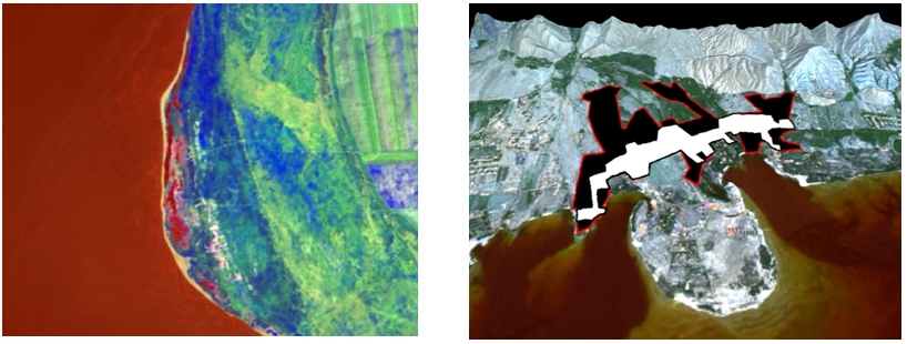
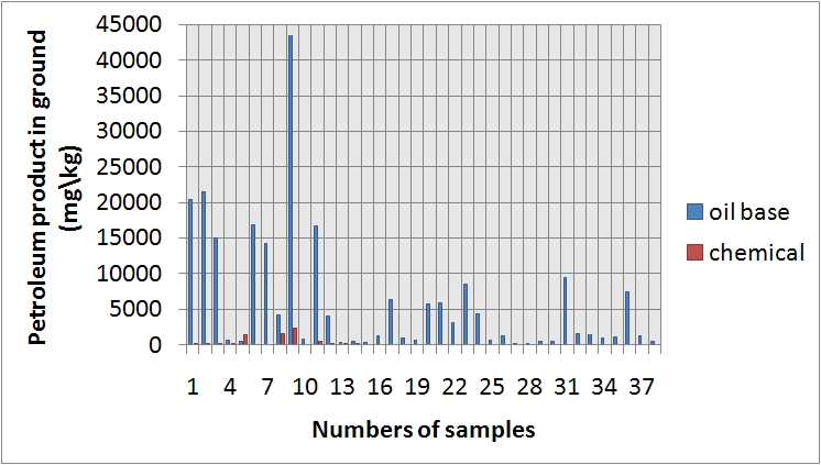
| Research of pollution of ground and underground waters by petroleum in area of city Balykchi in territory of Issyk-Kul basin in 2014. At the left: an arrangement of pits on a site of pollution by petroleum. On the right: a show on north, on petroleum storage depot - source of pollution |
 |
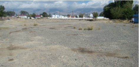 |
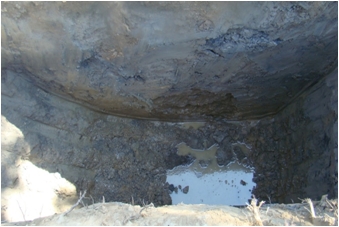 |
| Show of pit, opening groundwaters, polluted of petroleum |
|
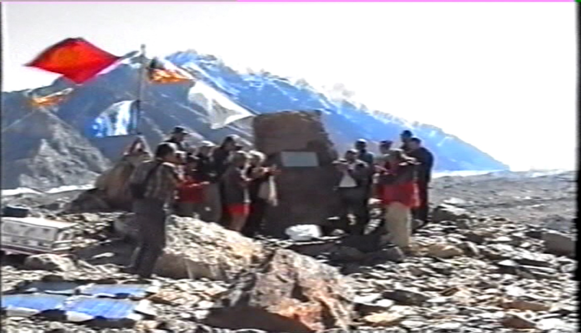
| The project GLAH (together with university Niigata, Japan). The purpose of the project is the study high-mountainous of break dangerous lakes of Kyrgyzstan, in particular, of lakes taking place on Teskey and Kyrgyz ranges. |
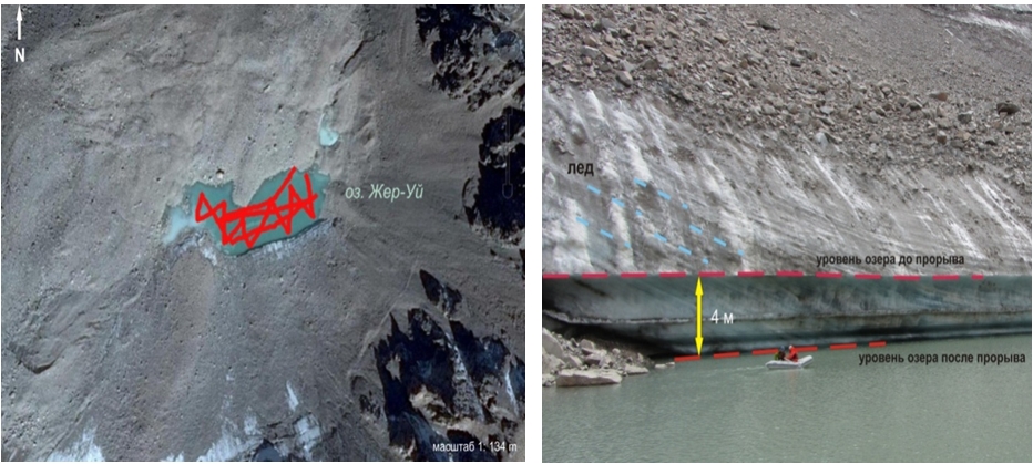 |
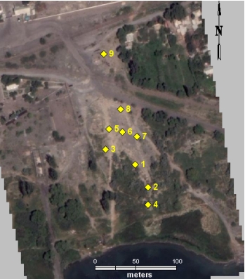
| Bathymetric survey of lake in headstream of river Jer-Uy, northern slope of Teskey range, as of august 2014. |
Glacier research within «Water in Central Asia» project
|
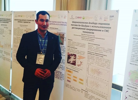
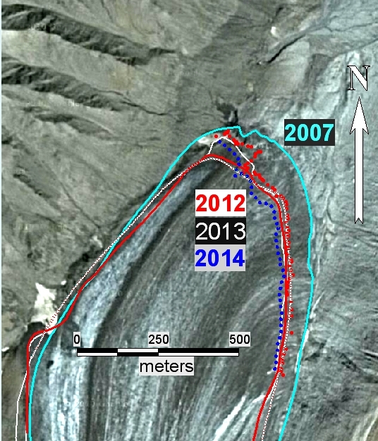
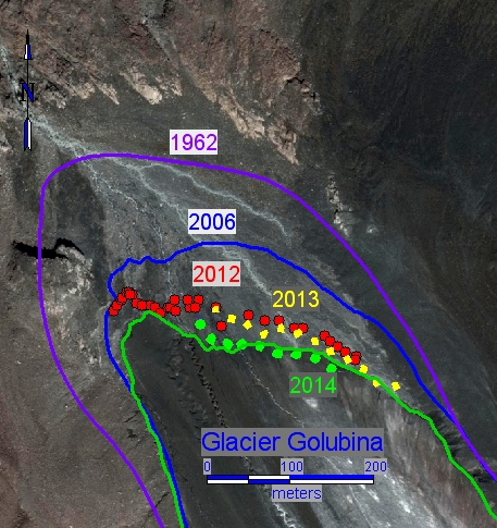
In 2014 within "Water in Central Asia" and «CATCOS» projects together with German and Swiss colleagues the research of glaciers was carried out through collection and analysis of existing information, including satellite images and field research. In particular, investigations on the Golubin glacier in the Kyrgyz ridge, on the Abramov glacier in the Alai ridge and on glaciers of the Akshyirak in the Inner Tien-Shan. During field works ablation and other measurements were carried out to determine the mass balance, as well as GPS measurements to determine the boundaries of glaciers, their absolute height. View Glacier Golubin, Glacier of the Akshyirak, Abramovon the large-scale map |
 |
 |
|
Study of change of glaciers Abramov, at the left and Golubin, on the right by interpretation of space images and field measurements by the GPS navigator (dotted line) |
Groundwater monitoring
|
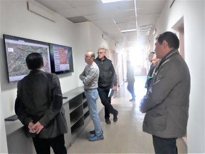
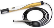
In 2014 the sensor «OTT_ecoLog_500» continues of measurements, begun in May 2012 in the well № 1301-4 of observation wells network of the Kyrgyz complex hydrogeological expedition of the Ministry of Natural Resources of KR. Measuring parameters (temperature and depth level) are stored with a frequency of 1 hour and transmitted via GSM cellular network to CAIAG server. To obtain these data and view the groundwater level change diagram at (http://gdbweb.caiag.kg/WATER/index.php). The obtained data enable to determine trends of the groundwater resources change in the Chu basin, used, particularly, for portable water supply of Bishkek. And as allow to observe influence of solar- lunar tides in Earth crust. This well is located in Kyrgyzstan in the western part of Bishkek (42 ° 52'1.06 "74 ° 28'50.31", absolute ground surface mark is 739m). View Well № 1301-4 on the large-scale map |
 |
|
The sensor «OTT_ecoLog_500» |
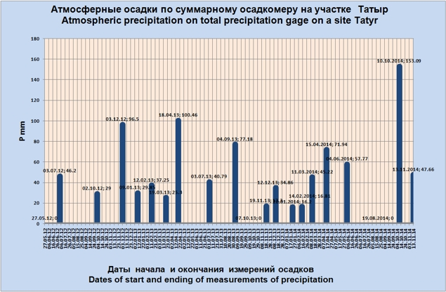
Exogenous processes
|
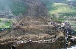
In 2014 the research of effects of climatic factors on landslides in the area of "Tatyr" landslide, located 30 km south of Bishkek was continued with the accumulative precipitation gage. View Landslide Tatyr on the large-scale map |
|
|
|
|
Atmospheric dust monitoring station
|
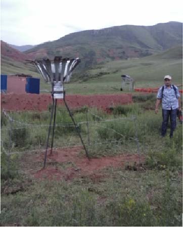
In 2014 execute observations in the atmospheric dust monitoring station, installed set in June 2010, in the foothills of the northern slope of the Kyrgyz ridge, in 40 km south of Bishkek, at a height of 1750m above sea level. The station is provided by the German Research Center for Geosciences (GFZ) Potsdam, Germany. It is installed by German researchers from GFZ (Dr. Georg Schettler), researchers from "Climate, Water and Natural resources" department in the Central Asian Institute for Applied Geosciences (CAIAG) and the Research Station of RAS, in the territory where the container of dust monitoring station is located. View Dust station on the large-scale map |